EO4HealthEarth Observation for Health
The ESA EO4Health is an initiative through the Climate, Sustainability and Science Department of the Directorate of Earth Observation Programmes which aims to empower the use of Earth Observation (EO) technology for facing the main challenges related to Global Health.
Explore more on how
EO can support different thematic areas
Get inspired by
our success stories
MULTI ACTOR FOREST INFORMATION SERVICE (MAFIS)
The MAFIS project will develop and demonstrate at pre-operational level a service aimed at providing consistent and statistically reliable information on forests, by combining multi-spectral satellite data and SAR data, to monitor natural and planted forests growth and forest losses due to human activities or to natural phenomena.
WIDGEON - Waterborne Infectious Diseases and Global Earth Observation in the Nearshore
Powered by the latest Sentinel satellite data, the project provided a perspective on the capabilities of remote sensing to build capacity and resilience against waterborne diseases under extreme weather conditions in coastal regions.
Learn more and
meet the EO4Health community
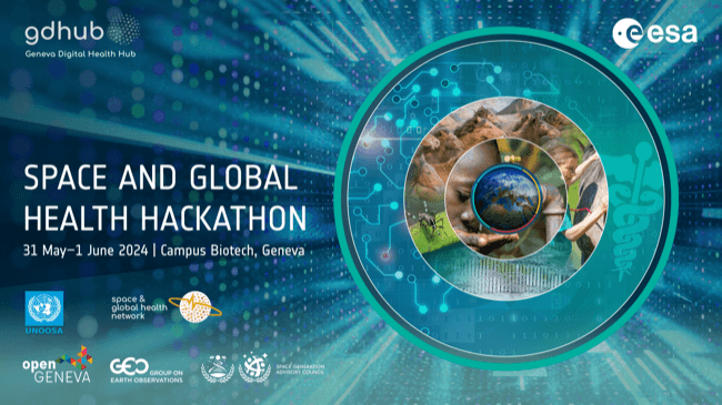
On the occasion of the World Health Assembly in Geneva, ESA organised together with the Geneva Digital Health Hub and various partners, a side event which focuses on Space and Global Health.
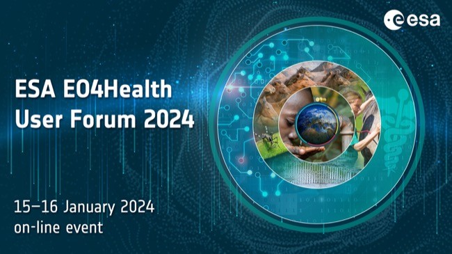
The User Forum aims at reviewing the latest advances in the use of EO technology for global health, to enhance our current capacity to observe, understand and predict health related challenges, including its connection with environmental conditions and climate change impacts.
The training course centred on remote sensing of ocean colour, water quality and human health, primary production, physiology and ecology of marine phytoplankton and practical aspects of working with satellite data.